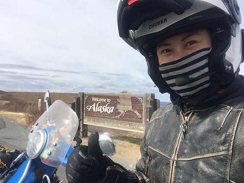
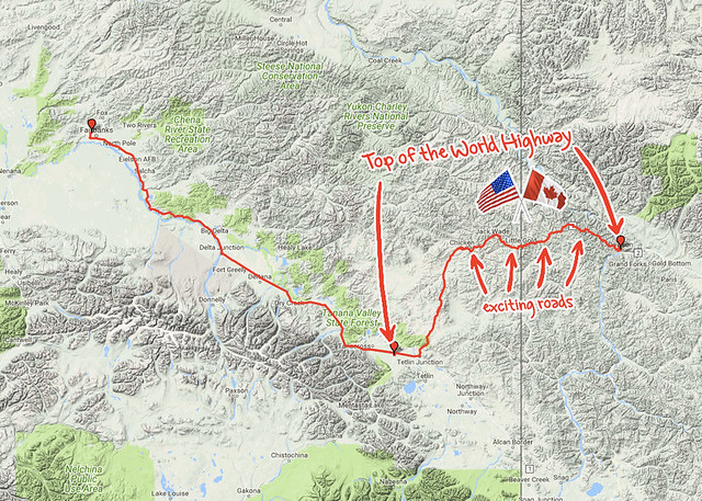
From the Midnight Dome Viewpoint, if you looked on the other side of the Yukon River you could see a pale line etched into the green hills. It climbed in a straight line up the river-facing side of the mountain, then turned in a squiggle that wrapped the crumpled terrain like a dropped a piece of spaghetti. That was my first look at the
Top of the World Highway, and that was where I was putting my bike.
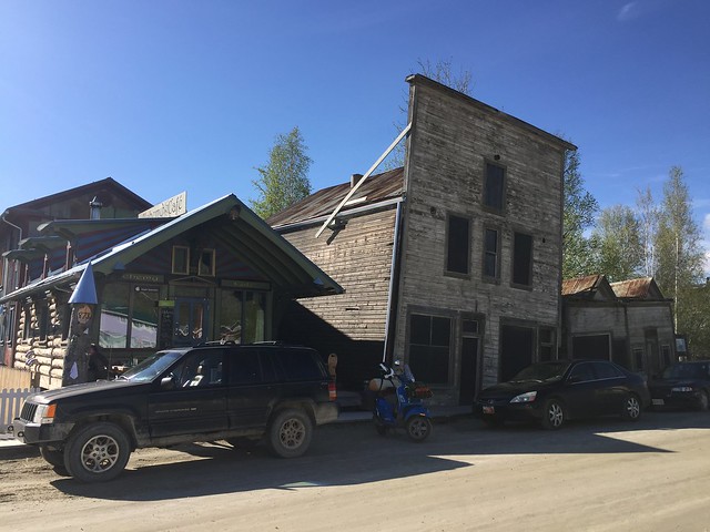 |
| A farewell stop at Alchemy Cafe, where Ryota was working. It's an unexpected slice of urbanity, next to old Dawson. |
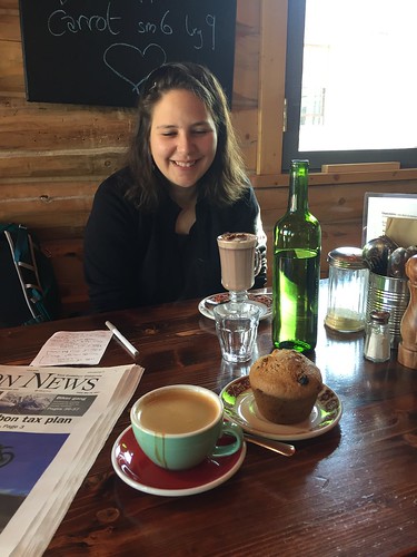 |
Easily the best coffee shop this far north in the Yukon.
Resident Belgian says it's the only place with drinkable hot chocolate. |
 |
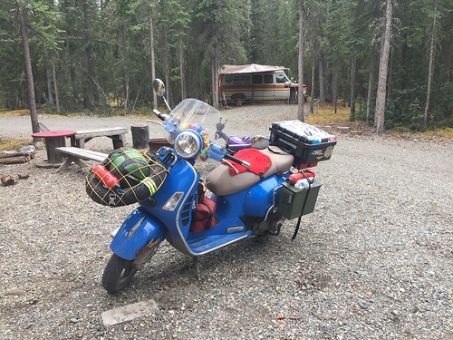
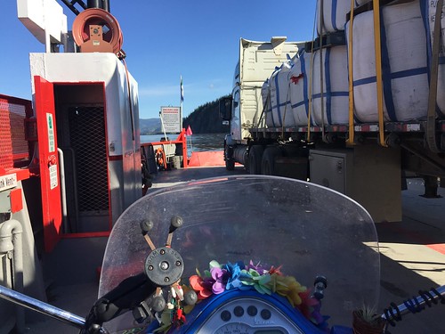
| Clear skies for scoot out. |
'Yukon Time' is a phenomenon similar to Baja Time, in that it's completely divorced from any hands on a clock face. Safe in the knowledge that you're far from urban bustle and next-day delivery of anything, you simply take things in stride. Relax, take your time, take things as they come.
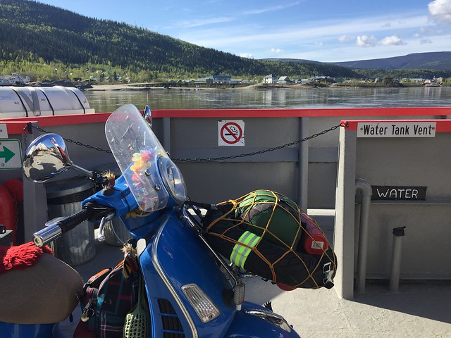
The George Black Ferry operates on Yukon Time. I think the ice caps melt faster than this ferry.
Naturally, I had plenty of time to adjust and made myself comfortable onshore. The ferry eventually arrived to spill out a meager sampling of walk-ons and automobiles, and I found myself sharing the return ride with a single other vehicle:
On disembarkation, the entire ferry tipped like a seesaw. Planks bowed and clattered as the truck pulled itself onto the muddy shore, digging up some fantastic troughs along the way.
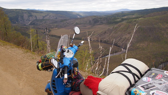
And then there was me, skipping along up the hill, on to one of the most northerly highways in the world.
 |
| Climbing. |
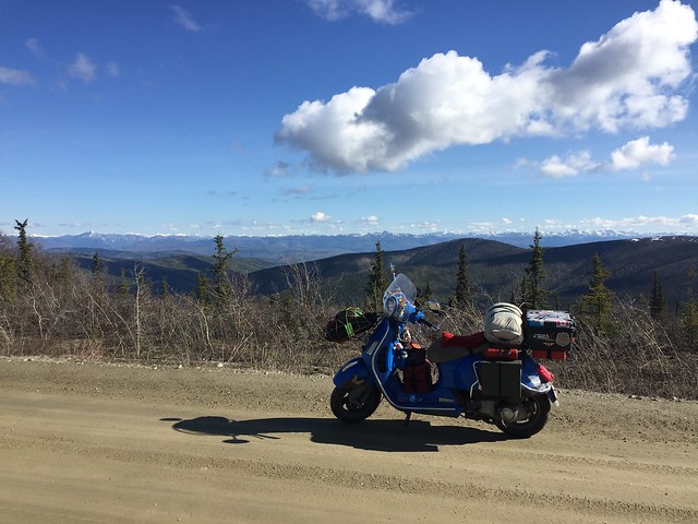
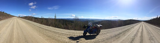
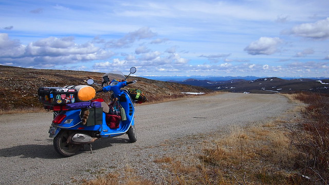
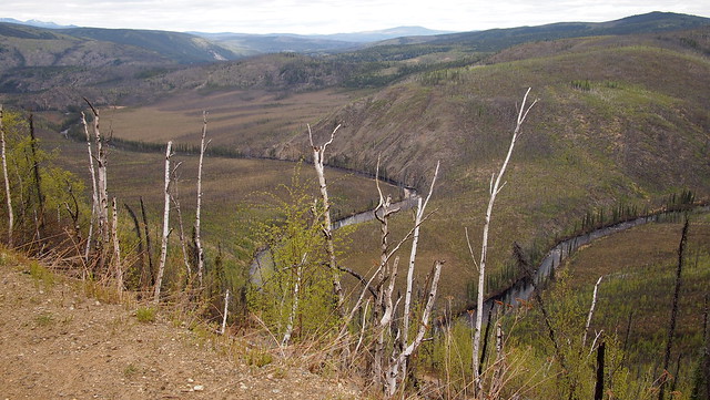
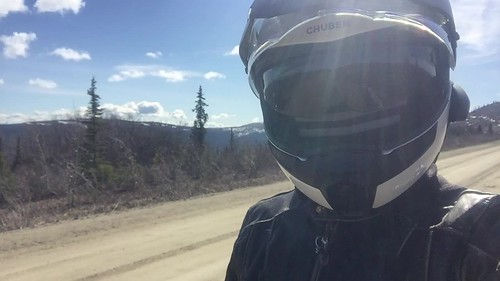
Distant banks of snow splashed like mercury on the dark hills, and a few times I passed an old snow bank melting in dark, glittering rivulets across the dirt. The road itself took wide, sweeping turns, each one revealing a vista into a valley that was a slight variation on the last. I didn't climb to soaring altitudes but crawled along the crests of perpetual hills. They stretched to the horizon in all directions, an unending bumpy landscape that echoed the bumpy gravel beneath my tires. Steady, crunching rocks, under a magnificent lonely sky.
Photos hardly capture the experience, so I didn't take many.
 |
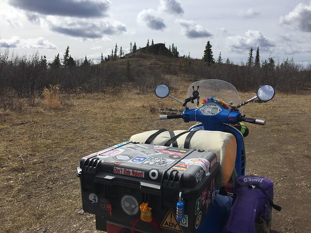
| Much of it looked like this. |
 |
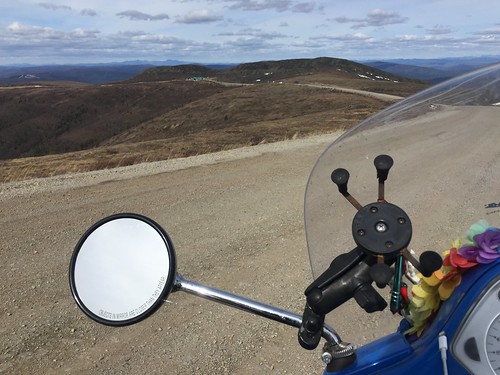
| Hark, an outcropping. |
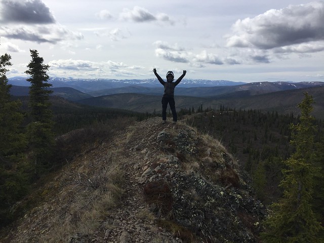 |
| I must stand on it. |
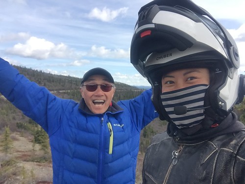 |
| Photo credit above to this awesome guy who pulled over for the same photo. I apologize for forgetting your name! |
 |
| He gave me a tour of his custom-built camper van. He was like a cool uncle! |
 |
He was the only other person I saw on the road, and we leap-frogged each other until we caught up at this outcropping.
Our two solo tourers, along the Top of the World Highway. |
 |
| This for eternity. |
 |
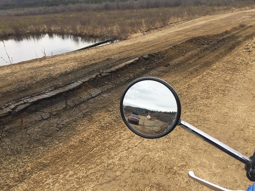
| Approaching U.S. border patrol, the little greenish speck in the upper left. |
It was 57 miles of well-graded Canadian dirt to a log cabin border crossing, and a cheerful officer stamped me back in. Then the road was beautiful, smooth tarmac.
 |
| I'm back on U.S. soil! |
At least, it was tarmac for 25-ish miles, then it continued in alternating patches of pavement and dirt. Like it was trying to make a good first impression and then gave up.
Oh well, I was still bumping along on Yukon Time anyhow.
Actually, there
is a timezone change into Alaska, and I needed to swap my wallet out for this funny green currency too.
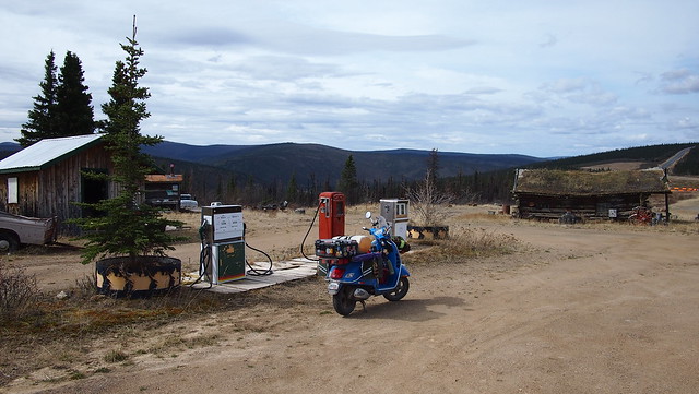 |
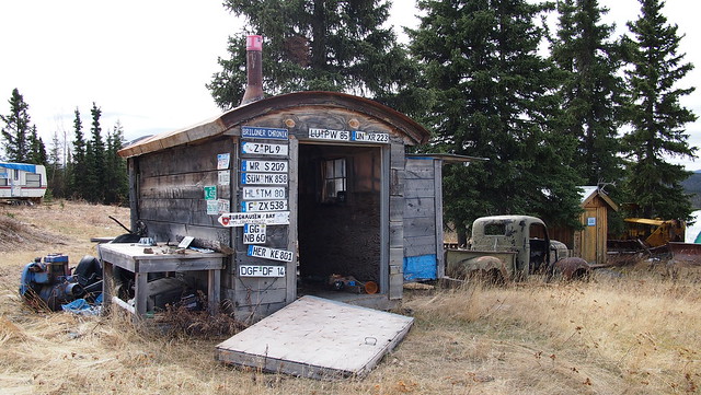
| Boundary, AK is the first rest stop in the US after the crossing. |
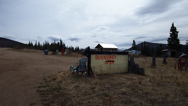 |
Yeah, it looks open. |
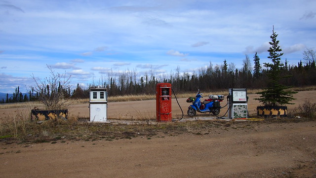 |
| Doesn't look like these pumps have been in use for a while. |
 |
| Picturesquely empty. |
 |
| "Dry camp $10" There were also signs for "Save Boundary" and "Ask about legal herbs". |
 |
| A peek inside the lodge. Guess I'll move on. |
 |
| The road dipped down to follow alongside Wade Creek, near Jack Wade, an old mining camp. |
 |
| Then climbed again to become the Taylor Highway. |
The Taylor Highway was narrow enough in parts to slow down for an oncoming vehicle. It dove and soared, taking me from being buried in trees to riding the mountaintops. I passed a small campground on the riverbank at Walker Fork, then the road climbed again for a spectacular view of the snaking river below. Utterly glorious.
 |
| Possibly my favorite views from this portion. |
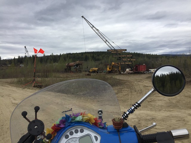 |
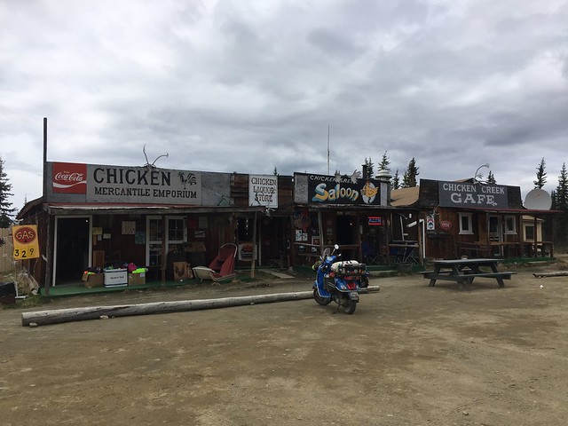
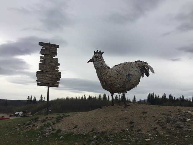
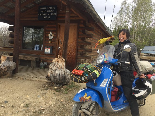
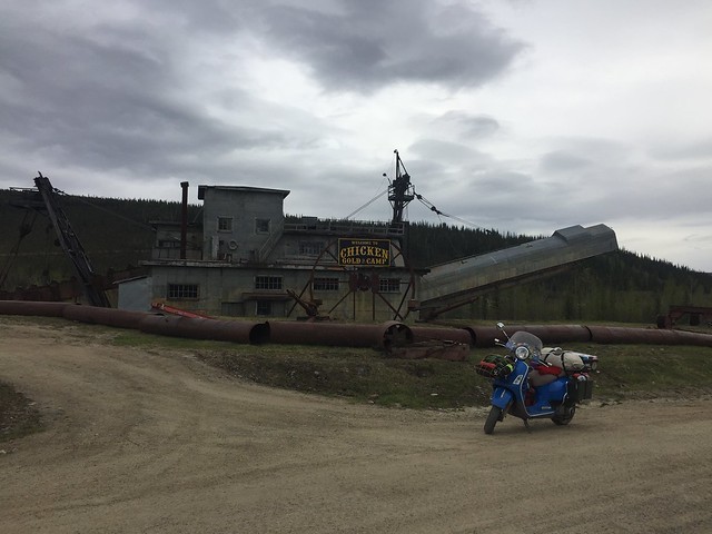
| Approaching Chicken, AK. |
The most scenic views seemed to have settled down by Chicken, AK and the road turned to dust.
 |
| Great time for a snack break. |
 |
| I'm the only one here. |
The cafe had pies on the counter worthy of a Pavolvian response, and stickers that said things like, "For the record, there is not a single mosquito in Chicken, Alaska. They're all married and have raised very large families." I was merely interested in buffalo chili and hot coffee.
...And admittedly maybe sort of chatting up Trevor, a guy from Iowa about my age who was working behind the counter. It had been a while for me, okay? Besides, I was legitimately enjoying bantering about the logistics of seasonal work, travel, and life in remote places. I only considered dry camping in the field behind the cafe for a hot second, a small fantasy within an already fantastic lifestyle.
 |
| Snicker. |
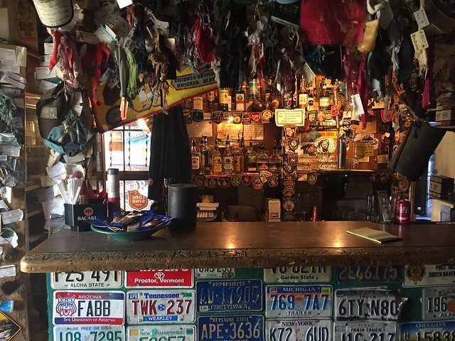 |
| Poked my head in the saloon, connected to the cafe around the back. |
 |
The town was setting up for Chickenstock Music Festival, coming up in a couple weeks.
I was told the population swells to 3,000. This could be a tall tale, in a town that advertises no flushing toilets (they truck in many, many porta potties for the festival). |
 |
Chicken, AK was going to named Ptarmigan after a game bird common in the area, but miners found the spelling troublesome.
Here's a photo from the gift store of more Chicken facts. |
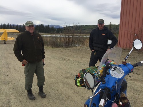 |
| Scott and Cliff. |
I hadn't seen a moose yet on my ride, but was recommended to check the pond by the airport – mothers liked to bath there with their young (though I shouldn't get too close). There were no moose, but I found two moose surveyors, about to take flight to count the local population.
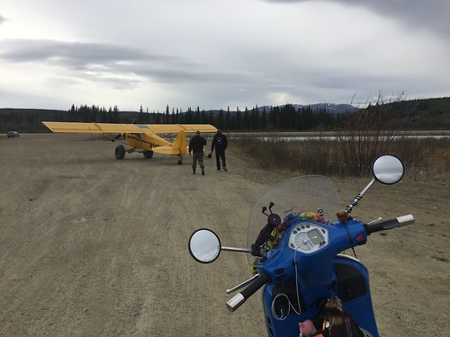 |
| Can I come? Alas, hardly space for the two of them on the plane as it were. |
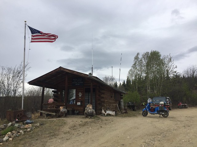 |
| The post office employs 1/3 of the year-round residents of Chicken... |
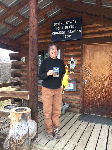 |
| Robin, the Postmaster! She was already ready with chicken prop at hand when I asked for a photo. |
 |
| Thank you for the best photo ever, Robin! |
 |
| A bite of cherry pie, gas up and go. |
 |
| Avoid that bit, eh. |
The road west of Chicken was more challenging than the Canadian side. It was a rough patchwork quilt of broken pavement, undecided whether to be all one or the other so it was both, poorly. Big rigs had pushed mud in the powdery earth into giant heaving ruts. As the road descended from the hills and became more exposed, the wind blew more dust sideways across the gravel and up my visor.
But it didn't last long. The highway steadily became more solid, and was smooth sailing by the time I picked up the Alaska Highway at Tetlin Junction. All told, it was only about 90 miles unpaved.
The last 15 minutes into Tok were easy and dull, compared to most of the day's miles.
 |
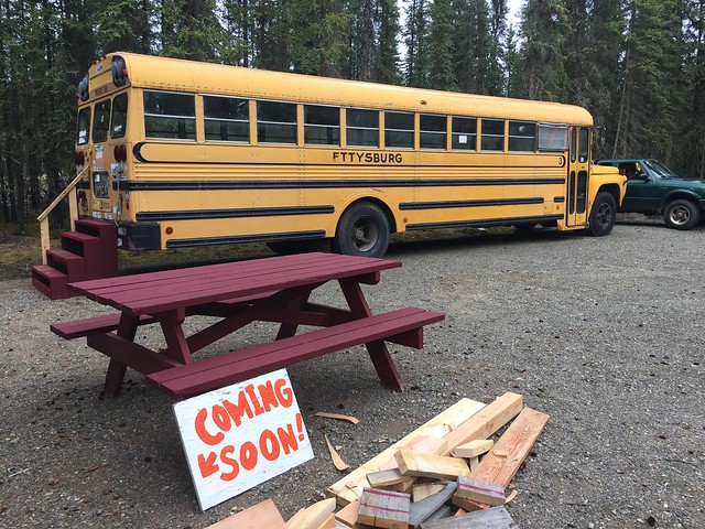
| Vanessa said the cabin would be the warmest option for this time of year. |
Thompson's Eagle Claw Motorcycle Park had been recommended to me for overnighting. It's an awesome, cozy camp, built with love. There's even a shed with tools for fixing your bike (I left a sticker for the toolbox).
 |
| Across from my cabin: Ambulance camp. |
 |
| A metal tin wasn't going to insulate well at night, but I still wanted to poke around. |
 |
| Hee hee. |
 |
| Calling all units. |
 |
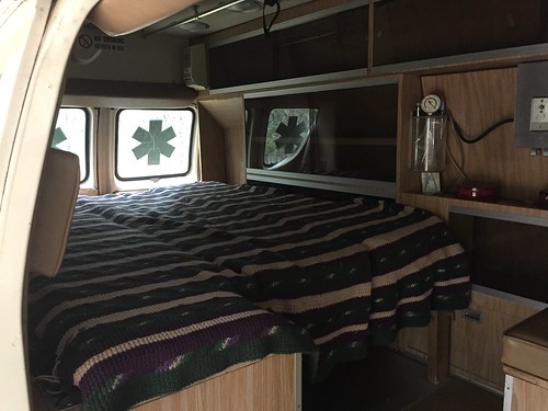
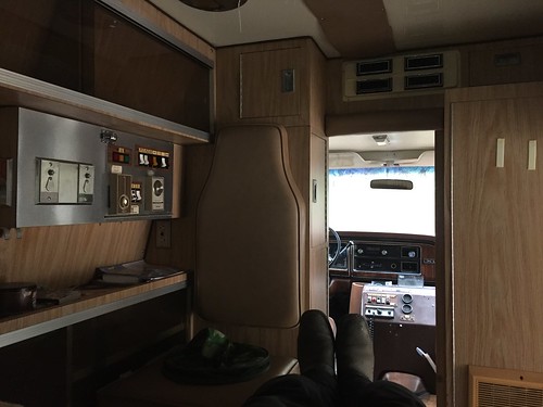
| I still have bus conversion dreams, but there simply isn't enough room for jiujitsu mats. |
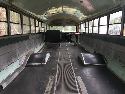 |
| Vanessa is building this into a group campsite. |
After settling in and touring the grounds, I scooted back around the corner for a hearty dinner (with more fries) at
Fast Eddy's. 2000% increase in french fry intake.
It was a bit weird, using American currency again.
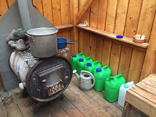 |
| Yukon--I mean, Alaska shower. |
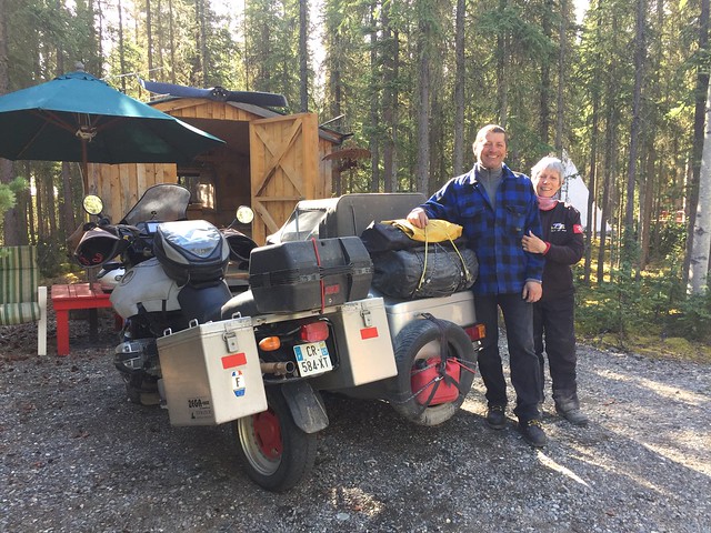
Vanessa put the outdoor sauna on for me and the only other guests at camp that night: the couple whose sidecar rig I saw in Dawson City! I ran into them in the bath house, and muddled through my very limited French and her limited English. They had taken a year off to travel around the world, and were currently headed to Ushuaia. Cool!
Also, I needed a walkthrough for how to shower in a setup such as this: Fire up the stove. Fill large pot with water to heat up. Pour other water on stones for steam effect while waiting. Use small saucepan to ladle hot water over yourself to wash. Pour more water on stones for further steam effect if desired? Note to self to pick up Duolingo again?
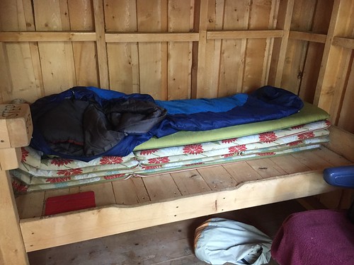 |
| Back at the cabin... |
The cabin I chose had four bunks with a lawn chair pad for each. Since it was only me, I channeled some Princess and the Pea and rearranged the furniture. In the end a legume didn't disturb my slumber though. After shutting the door on the midnight sun, it was the high-pitched whine of a single mosquito in the cabin that kept me awake all night.
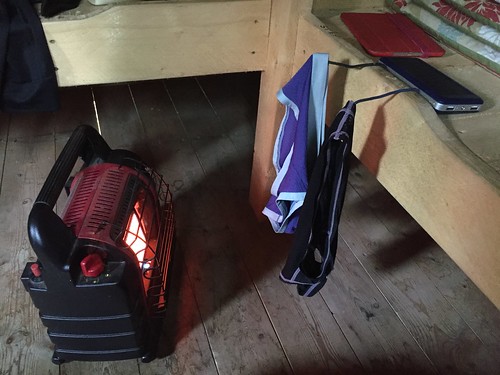 |
Found a little propane stove in the corner. This seems safe, right?
Gear Ties are great as impromptu laundry hooks, and I escaped without flaming underwear. |
 |
| Have a fantastic ride, friendly French couple! |
I narrowly dodged making a rabbit pancake on the Alaska Highway leaving Tok, but the last stretch of miles into Fairbanks were fast and easy. A metal bridge over a frozen river here. A fill-up at Delta Junction there. My only trouble was that all coffee businesses seemed to be drive-thru, and after hitting some passing rain I had no place indoors to warm up. Outside temperatures dropped to 4 C, and I was shivering uncontrollably by the time I finally found an indoor restaurant. I poured hot coffee into my insides and pretended my chicken tenders were ptarmigan.
It was deceiving out, sunny and bright, but so cold. The road had no more surprises for me though, only the shock of returning to a city.
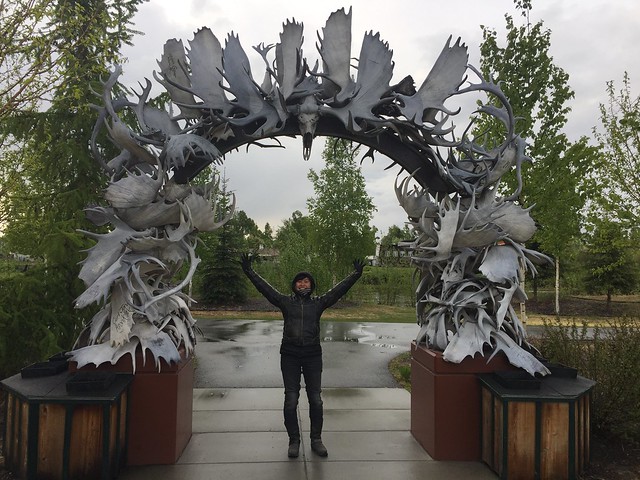 |
| Fairbanks, AK. |
I was recommended to
Sven's Basecamp Hostel, and they were friendly and cozy, but it was too cold for me to stay in their outdoors-style camp.
Billie's Backpackers Hostel was full, but I must have looked worn out and Billie kindly rented me a couch at a discounted price.
That evening a violent hail storm blew in, but I was indoors and warm. A younger group visiting from the Anchorage military base turned up. They had bottles of wine for
national wine day, but no opener. I
volunteered mine, offered my bottle to the mix, and guided them through a tasting. They were all cheap wines, but that's not what matters here, is it?
It was still bright when I went to bed at midnight.
Nice photos. The Eagle Claw Moto campground is great. Vanessa recommended the same cabin when I came through in August though I didn't think of collecting all of the mats. And the Mr. Buddy heater used up a lot of propane when you're the only one in there. Good trip report!
ReplyDelete